> ## Documentation Index
> Fetch the complete documentation index at: https://docs.jitra.app/llms.txt
> Use this file to discover all available pages before exploring further.
# Understanding Sites
> Learn what Sites represent in Jitra, which fields they contain, and how they are used on the Tracking map.
A Site is a circular place defined by a center point and Radius. It is useful for locations that do not require a custom polygon.
## Opening Sites
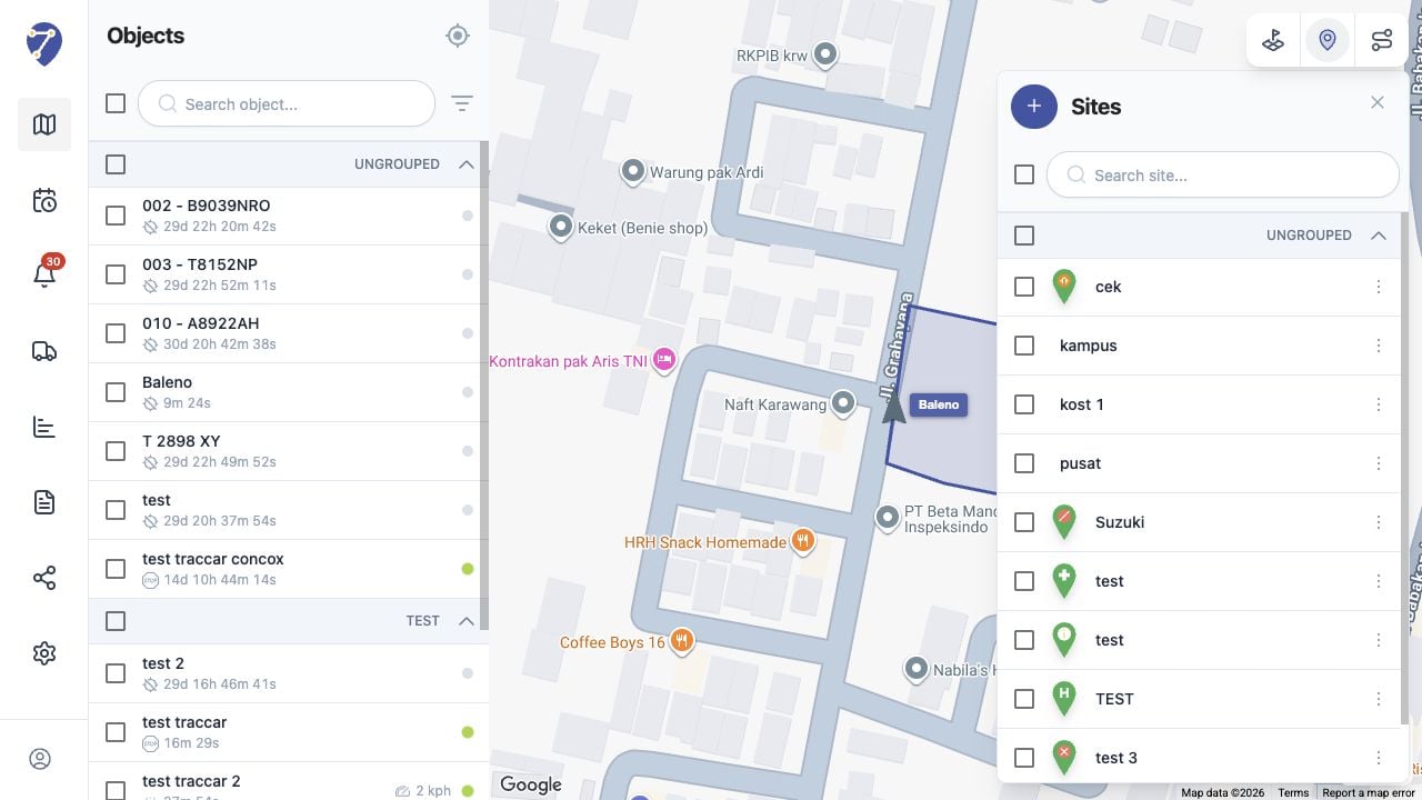
Open Tracking and click Show Sites. The panel lists saved Sites and provides search, selection, creation, and action controls.
 ## Site Information
* Name: the label shown in the Sites panel
* Center point: the Site location selected on the map
* Radius: the distance in meters around the center
* Group: the optional Place Group
* Description: additional information about the location
## Using Place Groups
The Group field can organize related Sites. The panel displays grouped and Ungrouped items under separate headings.
## Using Sites on the Map
Select the checkbox beside a Site to display its circular boundary on the map. The selected Site is focused so its coverage can be inspected.
## Site Information
* Name: the label shown in the Sites panel
* Center point: the Site location selected on the map
* Radius: the distance in meters around the center
* Group: the optional Place Group
* Description: additional information about the location
## Using Place Groups
The Group field can organize related Sites. The panel displays grouped and Ungrouped items under separate headings.
## Using Sites on the Map
Select the checkbox beside a Site to display its circular boundary on the map. The selected Site is focused so its coverage can be inspected.