> ## Documentation Index
> Fetch the complete documentation index at: https://docs.jitra.app/llms.txt
> Use this file to discover all available pages before exploring further.
# Measuring Distance and Area
> Learn how to measure a route distance or outline an area directly on the Jitra Tracking map.
Measure provides quick map-based estimates for a distance or an area without changing Object data.
## Opening the Measure Tool
Click Measure on the right side of the map. Select Distance or Area in the Measuring panel.
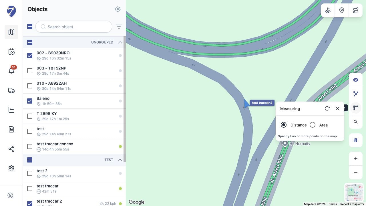 ## Measuring Distance
1. Select Distance.
2. Click the map to place the starting point.
3. Add two or more points along the route you want to measure.
4. Read the calculated distance shown by the tool.
## Measuring Area
1. Select Area.
2. Place at least three points around the boundary.
3. Complete the shape to display the calculated area.
## Resetting or Closing the Tool
Use reset in the Measuring panel to clear the current points, or click the close button to leave measurement mode. Results are map estimates and may differ from an actual travelled route or surveyed area.
## Measuring Distance
1. Select Distance.
2. Click the map to place the starting point.
3. Add two or more points along the route you want to measure.
4. Read the calculated distance shown by the tool.
## Measuring Area
1. Select Area.
2. Place at least three points around the boundary.
3. Complete the shape to display the calculated area.
## Resetting or Closing the Tool
Use reset in the Measuring panel to clear the current points, or click the close button to leave measurement mode. Results are map estimates and may differ from an actual travelled route or surveyed area.